Credit : Caroline Maufroid / Sciences Po,
Interior of the historic library on the Reims campus.
What data should you look for?

Benoît Martin
Published 18/09/2024
Note to readers:
This article is part of a set of methodological resources dealing with the map exercise required in the Thinking IR Globally course at Sciences Po. The “map” is essentially identical to the “geographical sketch” used french in high school. Most of the points developed in these resources apply to secondary education.
A threefold prerequisite
Much of the information that can be mapped is available on the internet. However, this information circulates (quoted, retrieved, extracted, modified, etc.) in such a way that those who publish it are not always the original authors. It is necessary to ensure the reliability of the data by knowing, at a minimum: who produced it, when and what it refers to. Without this information, it is better not to use the data.
Where to look for?
Primary sources: all actors of international relations (international organizations, NGOs, states, administrations, companies, etc.) – taking a critical look at their nature, activities, interests, etc.
Secondary sources: academic actors (universities, think tanks, experts, etc.) or media actors (newspapers, television, etc.) – the neutrality of the information they produce must also be examined.
Note on social media: it is important to distinguish between original information published on social media and information that has been reposted. In both cases, it is essential to know the source.
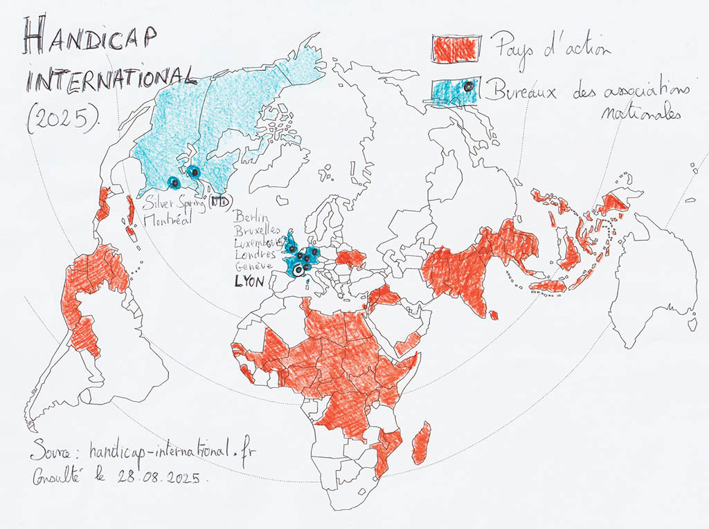
Don’t limit yourself to producers of statistics and maps alone! Here are a few examples: a regional organization reports the amount and destination of its programs; an NGO announces its actions around the world; a company must detail in its activity report where it produces, sells, and declares its profits; a UN agency publishes the list of States Parties to a treaty, etc. Information that can potentially be mapped is everywhere!

Illustration 1. Visualization of information from an NGO website.
What kind of information should you look for?
Data (online databases, tables, statistical appendices to reports, etc.). Preference should be given to data that has already been harmonized at the international level and appears to be reliable (data whose “metadata” clearly states definitions, units, years, methods, etc.).
Maps (map libraries, atlases, media, etc., but also Google Images). Often useful for getting new ideas, finding sources, retrieving some of their content, etc. However, the map exercise in Thinking IR globally course requires the creation of an original map that responds to the given topic: copying a map produced in another context is not enough!
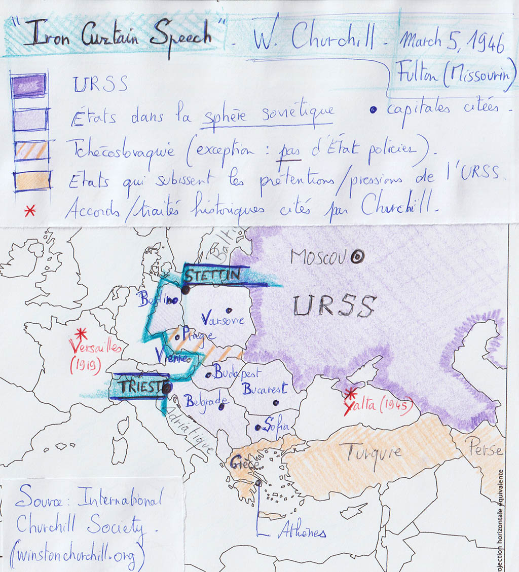
Texts (books, speeches, official documents, etc.). The content of these documents can often be mapped (places, orders of magnitude, actors, periods are mentioned).

Illustration 2. Example of a map transcription of a speechExample of a map transcription of a speech.
To go further
- All the articles to Getting started with cartography in Thinking IR globally
